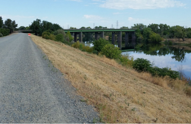
The design of the proposed Two Rivers Trail may include about 400 yards running along the top the American River levee just east of the Capital City Freeway in River Park.
On March 29, the American River Flood Control District, which maintains the levees along the lower American River, will be asked to approve the City of Sacramento’s request to build the trail on this segment of levee. District staff is recommending that the district board of trustees approve the request.
The district has a policy against allowing recreational uses on the top of the levees it maintains. In response to the policy, the City has proposed locating the entire 2.4-mile-long trail on an unpaved maintenance road at the base (toe) of the levee nearest the river.
Click here to read more about the Two Rivers Trail project.
However, when the levee was repaired following the 1986 flood, a short section of the maintenance road east of the freeway bridge was not replaced at the toe of the levee. Instead, it climbs the levee face and runs atop the levee for about 400 yards.
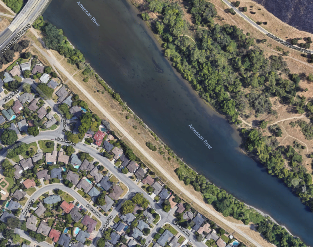
For this section only, the City originally considered building the Two River Trail on a ‘bench’ just below the crown of the levee:
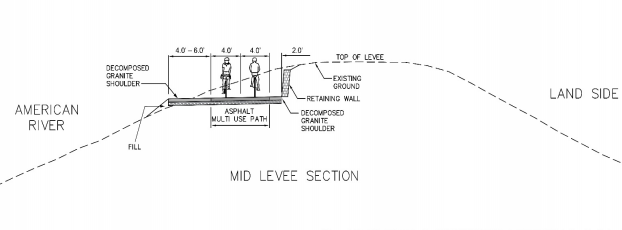
The foundation for this bench would extend down the face of the levee and require the removal of about 90% of the vegetation currently growing along the water’s edge in this area. Apart from the impacts on plants, animals, birds and insects, this design is likely to face tough scrutiny from regional, state and federal flood control agencies that must grant permits for the trail.
So in February, the City asked the district to grant an exception to its policy and allow the trail on the levee top. The district’s policy explicitly allows for such exceptions:
“The District’s preference is to locate trails off the levee crown on either the land or waterside of the levee, where feasible, in accordance with the State Reclamation Board regulations. If not feasible, or if the applicant desires to locate the trail on the crown for other reasons, the Board may approve locating the trail along the crown on a case-by-case basis.”
The City would build and maintain the paved trail segment atop the levee and take on all liability for its use.
At a Mar. 8 board of trustees meeting to review the request, the district staff explained that the top of the levee is wider than usual in this area — about 20 feet – due to the 1986 repairs, and could safely accommodate an 8-foot-wide paved path and unpaved shoulders on each side. Staff confirmed that adding the paved trail would not weaken the levee or interfere with the operation of maintenance equipment.
Click here to read the staff report that recommends granting an exception to the district’s recreational trails policy.
On Mar. 29, the board will consider the narrow question of whether the proposed levee-top location for the trail is eligible for an exception to the district’s policy. The board does not have authority to dictate details of the trail’s design or operation or to evaluate the trail’s impacts on plant and animal species or the privacy or security needs of nearby residents.
For the past 50 years the top of the levee through River Park has been heavily used by River Park residents and others for walking, dog-walking, running and biking.
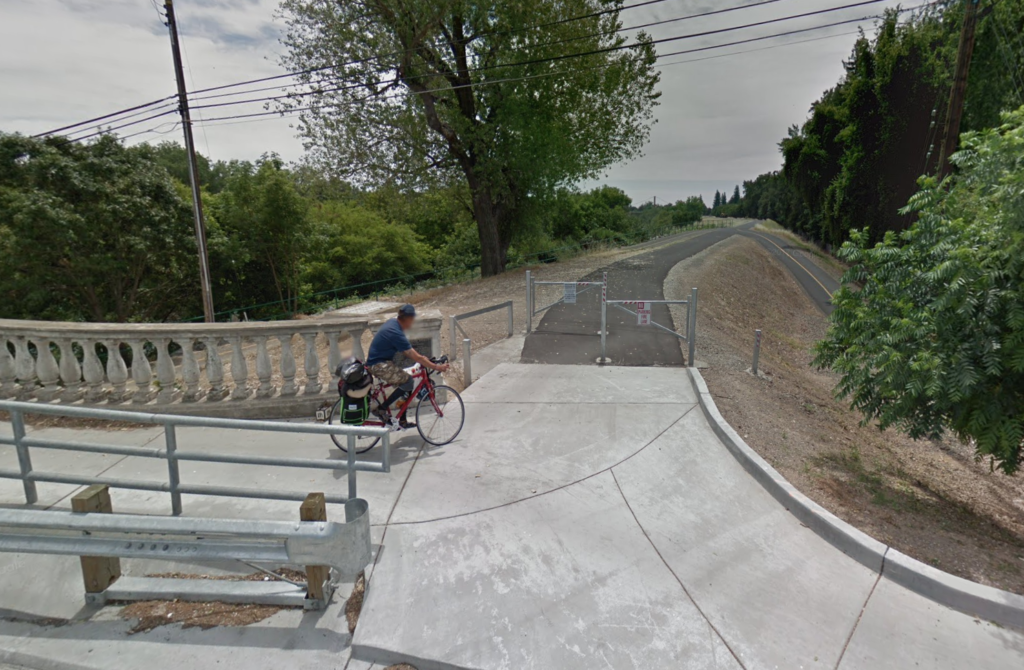
Phase I of the Two Rivers Trail was built on the levee top between Tiscornia Park and the Highway 160 bridge in the River District, where — like River Park — there is no place for the trail at the toe of the levee. The district also accommodates paved trails on the levee top next to the Sac State campus south of H Street and just north of Del Paso Blvd. in North Sacramento.

SABA’s position
We support the district staff’s recommendation to grant an exception to the district’s recreational trails policy to allow the City to build and maintain the Two Rivers Trail atop of levee in this area.
We agree with district staff’s analysis of the district’s policy and its conclusion that the City of Sacramento has demonstrated why building the trail anywhere but atop the levee is infeasible.
What you can do
Send a brief email to Tim Kerr, general manager of the American River Flood Control District, at tkerr@arfcd.org to express your support for the staff recommendation to make an exception to the district’s recreational trails policy for this project.
The American River Flood Control District encompasses most of the 95811, 95814, 95815, 95816, 95817, 95818, 95819, 95825 and 95838 zip codes (click here to see a district map). If you live within the district, please mention this in your message. As a district resident, your opinion has added importance.
The special meeting of the district board of trustees is at 11 a.m. on Friday, March 29 at 185 Commerce Circle. If you can attend, please plan to briefly testify in support of the staff recommendation. The meeting room is small and we expect the meeting to be crowded, so plan to arrive early enough to get a seat.
Click here to read the staff recommendation to the board.

